Note: This series originally aired on WBOI FM public radio of Northeast Indiana. Thanks to Tom Castaldi for allowing and facilitating its reproduction.
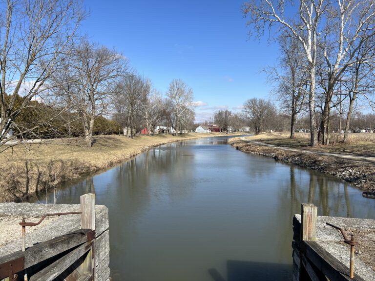
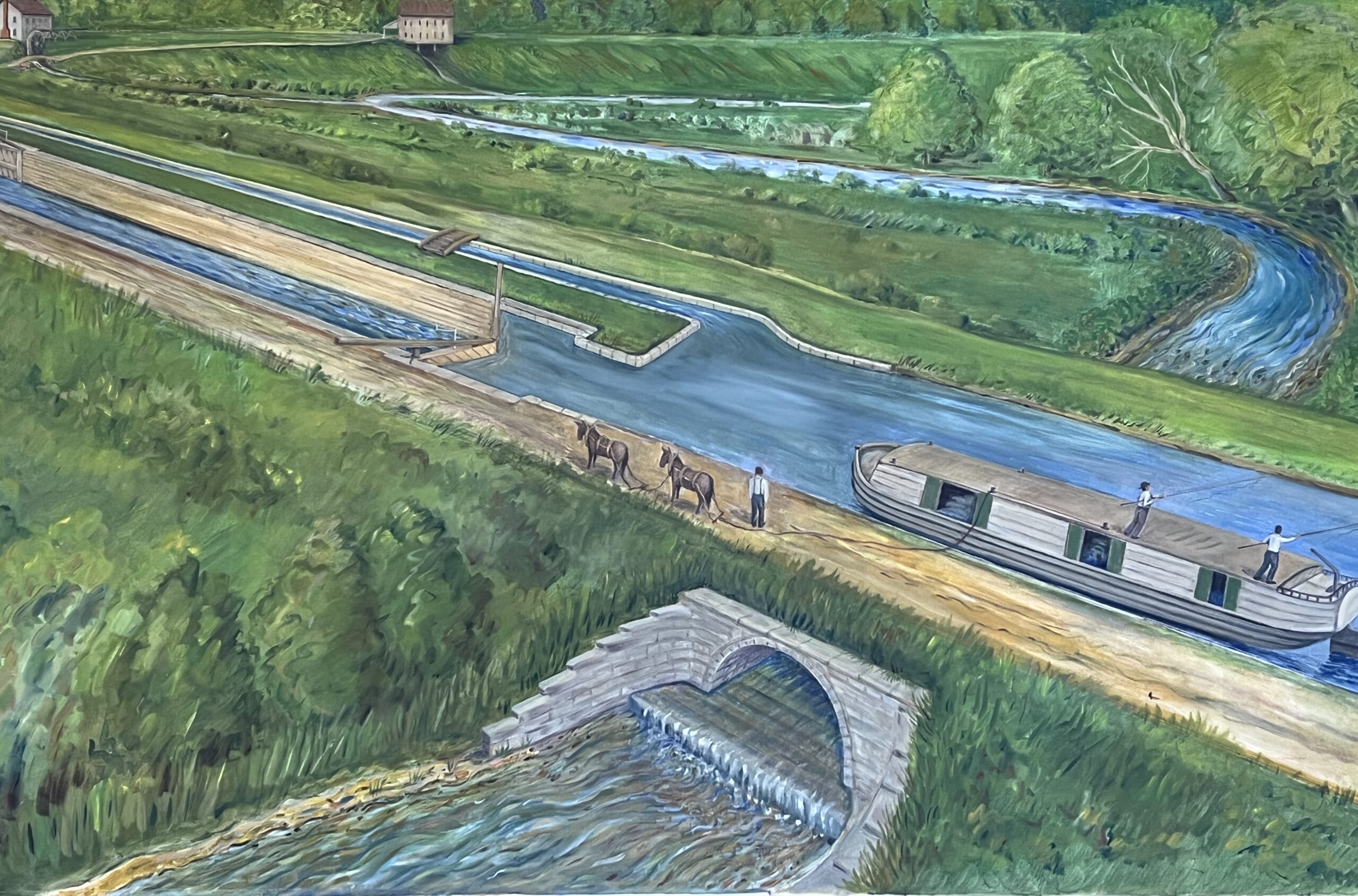
How did a boat on the Wabash & Erie Canal pass over the hundreds of streams flowing across its watery path? The whole idea of a canal is to have stretches of still, flat water for moving tons of cargo powered by towing horses or mules.
As a rule, quiet canal water will not cut neatly across a babbling brook, much less a raging river. The laws of nature being what they are, water seeks its own level, and canal water would be lost going with the flow of a wild stream. To float boats over streams, contractors built culverts or arches. For larger rivers, aqueducts were built.

An aqueduct was like a long, wooden wagon bed that swelled watertight when the wood became damp, making a bridge of water over water for Wabash & Erie vessels.

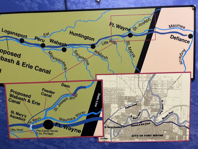
Probably the most celebrated aqueduct was the one over Saint Mary’s River at Fort Wayne. Artists’ paintings depict a 160-foot covered structure that protected the bridge from the elements. At each end, the 17-feet wide bed of the aqueduct matched up evenly with the canal channel. Today you can see the stone abutment on the west bank of the Saint Mary’s north of the Main Street Bridge. The River Greenway Trail passes inches away from the old aqueduct structure.

A longer uncovered aqueduct crossed the Eel River at Logansport. It was 200 feet long and what remains of its abutments and five piers can be seen today on the river north of High Street where it meets 5th Street. At Aboite River near U.S. 24, west of Fort Wayne, the stone abutments and several timbers of Aqueduct No. 2 are still visible.
Had it not been for aqueducts, arches and culverts, the entire idea of canals would be like pouring water down the drain.